
Print a copy for each student: Intro to Ground School: 3 Airports
DISCUSSION: (Airports)
Find in Google Earth: Kijabe Airport
- Show photos
- This is, at its most basic, an airport. What does it have?
- Runway (dirt)
- A place to turn around
- Always take off and land INTO THE WIND.
- How does this airport break one of the biggest airport rules? (not straight)
- This is, at its most basic, an airport. What does it have?
- Show video (note the windsock): Caravan Landing at Kijabe
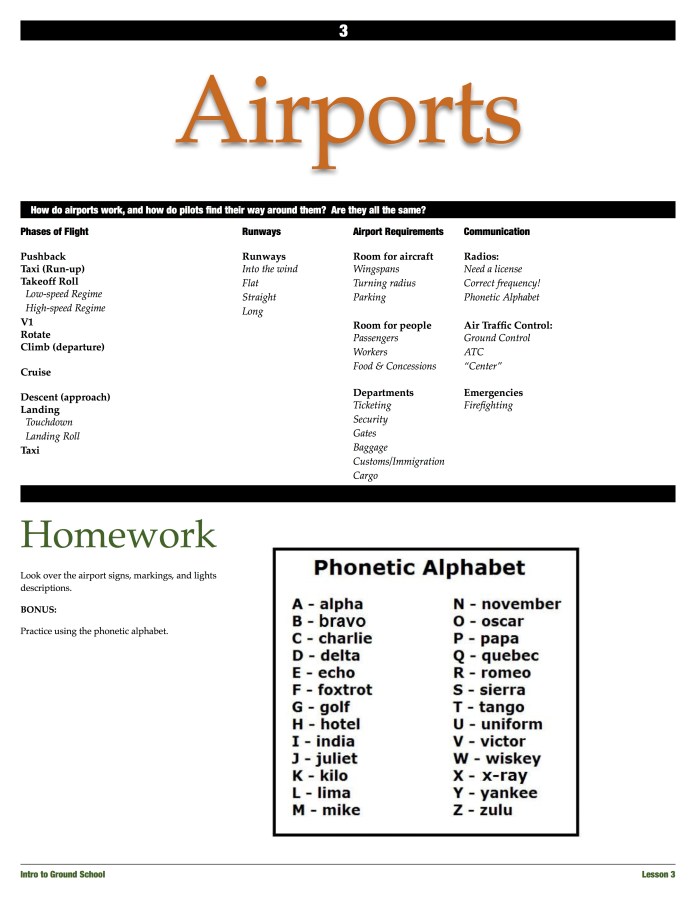
Phases of Flight:
- Pushback
- Taxi
- Run-up
- Takeoff roll
- Low-speed regime
- High-speed regime
- V1
- Rotate
- Climb (departure)
- Cruise
- Descent (approach)
- Landing
- Touchdown
- Landing roll
- Taxi
Cashmere Airport
- Learning about airports is like learning a special code.
- What are the numbers on the runway?
- What are the arrows below the numbers?
- Zoom into approach end of Runway 25:
- What are the markings on the taxiway?
- Zoom into approach end of Runway 25:
Wenatchee Airport
- Aiming points
- What are the “X”s for?
- Find the windsock
- Point out the PAPI (show picture)
- Position Markings
Seattle Airport
- How many runways are there?
- What are their runway numbers?
- Find the passenger terminal
- What’s going on on the north side of the airport?
- Find the fuel storage
Additional Resources:
Taxiway Markings, Signs and Lights
